
Finding the best time to visit Rosario Islands
The best time to visit Rosario Islands depends on what you need from the day: lower historical rainfall, manageable sea conditions or room in your schedule to change plans. January to March are the driest months in the historical Cartagena climate series used here. That helps with choosing dates, but it does not settle whether a particular boat will leave or which route it can follow.
Treat the trip as two decisions. First choose a season using the long-term pattern; then decide on the departure using current maritime information. This distinction matters for a day trip and even more when an island stay includes a return crossing. Start with the type of journey in the transport guide, then match the dates to your tolerance for a boat journey.
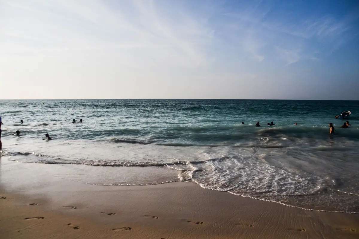
Dry and rainy periods in the historical coastal record
The WMO and IDEAM series covers Cartagena from 1971 to 2000. It is a historical coastal reference, rather than measurements taken on the Rosario islands or a forecast for 2026. In that series, January has a mean monthly rainfall total of 4.0 mm, February 1.0 mm and March 2.0 mm. October is the wettest month in the series, with 235.0 mm.
These are monthly averages. A rainfall total says nothing precise about the time of day when a shower will arrive on your visit. Likewise, the mean daily maximum and minimum temperatures in a climate table describe a long-term monthly pattern, rather than the highest or lowest temperature you will personally experience. Use the dry-season signal to plan, then leave the daily forecast to information issued close to departure.
A day on Barú by road
This vehicle trip offers a beach day without the longer island boat crossing.
Hand-picked tours, booked through Viator. Prices are indicative starting prices in US dollars (as of October 2026). Tap a tour for live availability and the current price in your currency.
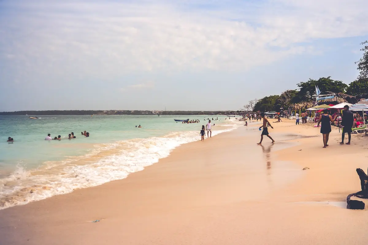
A road-based beach day on Barú
An air-conditioned vehicle and lunch make this a different format from a long island crossing. Operation still depends on the conditions of the day.
Trade winds and waves need their own decision
An older DIMAR technical reference, drawing on literature including 2016, describes higher typical waves from December to April and weaker average conditions from May to November. This is historical background, not an operating bulletin. It explains why a month with little rain can overlap with a windier sea period and why a clear sky alone is an incomplete reason to choose a crossing.
For snorkelling and diving, the route also depends on wind, weather and visibility. Choose the activity for its stated format and equipment rather than a promised month of clear water. Follow the guide on the permitted water activity location, avoid touching corals and keep litter out of the sea. Follow the site rules in whichever season you visit.
High season and planning your date
The tariff regulation applicable in 2026 defines high season as 1 November to 31 January, 15 June to 15 August and Semana Santa. These periods are a planning category in the regulation; they are not a separate seasonal Rosario entry charge. Settle the visit date and capacity before paying, and read the park fee guide separately from the weather decision.
If your plan combines an overnight stay and an excursion, give the return boat the same attention as the outward trip. Choose where to stay with its exact access in mind. A room location, a day-trip marina and an airport arrival are separate pieces of the itinerary, so arrange the connections around the actual booked journey rather than a generic island timetable.
Departure day and a road alternative
Consult current DIMAR or harbour authority information and your operator close to the trip. The park profile gives a departure window of 08:00 to 10:00, with returns governed by the harbour authority and sea conditions. Registration and the safety briefing are compulsory. Use authorised boats and approved landing points, wear the life jacket throughout navigation, respect passenger limits and avoid alcohol while underway.
The Barú option featured here is a road-based beach day with an air-conditioned vehicle and lunch. The meeting instructions use the Convention Center parking area. Loungers or beach beds depend on location and availability, while Wi-Fi depends on connectivity. Consider that format if the long sea crossing is your main concern, but still check the day’s access and operating conditions. A road itinerary is a different way to reach Barú, rather than a promise that every beach activity runs in bad weather.
Questions before you go
Which months have the least historical rain?
January, February and March are particularly dry in the Cartagena WMO and IDEAM series for 1971 to 2000. Those coastal averages help choose a season; use a current forecast for the visit itself.
How should I plan a December boat trip?
December overlaps the higher-wave period described in the older DIMAR reference. Consider the current marine conditions as well as the rainfall pattern and follow the departure instructions for your boat.
Can I choose a beach trip without the long crossing?
A road-based outing to Barú is a different option from a Rosario boat circuit. Its access and operation still depend on the day, and swimming conditions need their own assessment.